Ian Petersen
Ian’s lifelong love of maps & the outdoors began the first time toddling along on a family backpacking trip. This love has grown over the years, with endless poring over maps to plan camping, backpacking & mountaineering trips. His passion for the outdoors and science led him to pursue ecology, where Ian spent summers in the field, fascinated by the connection and isolation of landscapes.
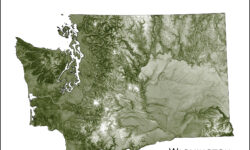
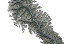
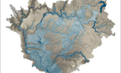
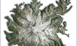
Using the same tools he was using for science, Ian began to play with creating his own maps, ones that focused on a particular part of a landscape. Initially, these map were created as gifts to friends, but it quickly grew. Eventually, he left academia and has pursued cartography full time for the past 5 years.
“Map What Matters: This idea guides the creation of my maps. To include only what is essential to a place. Maps as poetry, rather than long prose. I draw boundaries to encapsulate a place; delineating with ridges, waterways, and contours. Within the bounds, I accentuate the unique topography of that place. The forms I create have an abstract quality, yet are actually detailed maps of real places. This blend of precise GIS mapping & digital drawing I endearingly call cARTography.”
